Te Araroa
11 November 2026 · New Zealand · SOBO
Distance3,000 km
Photos10
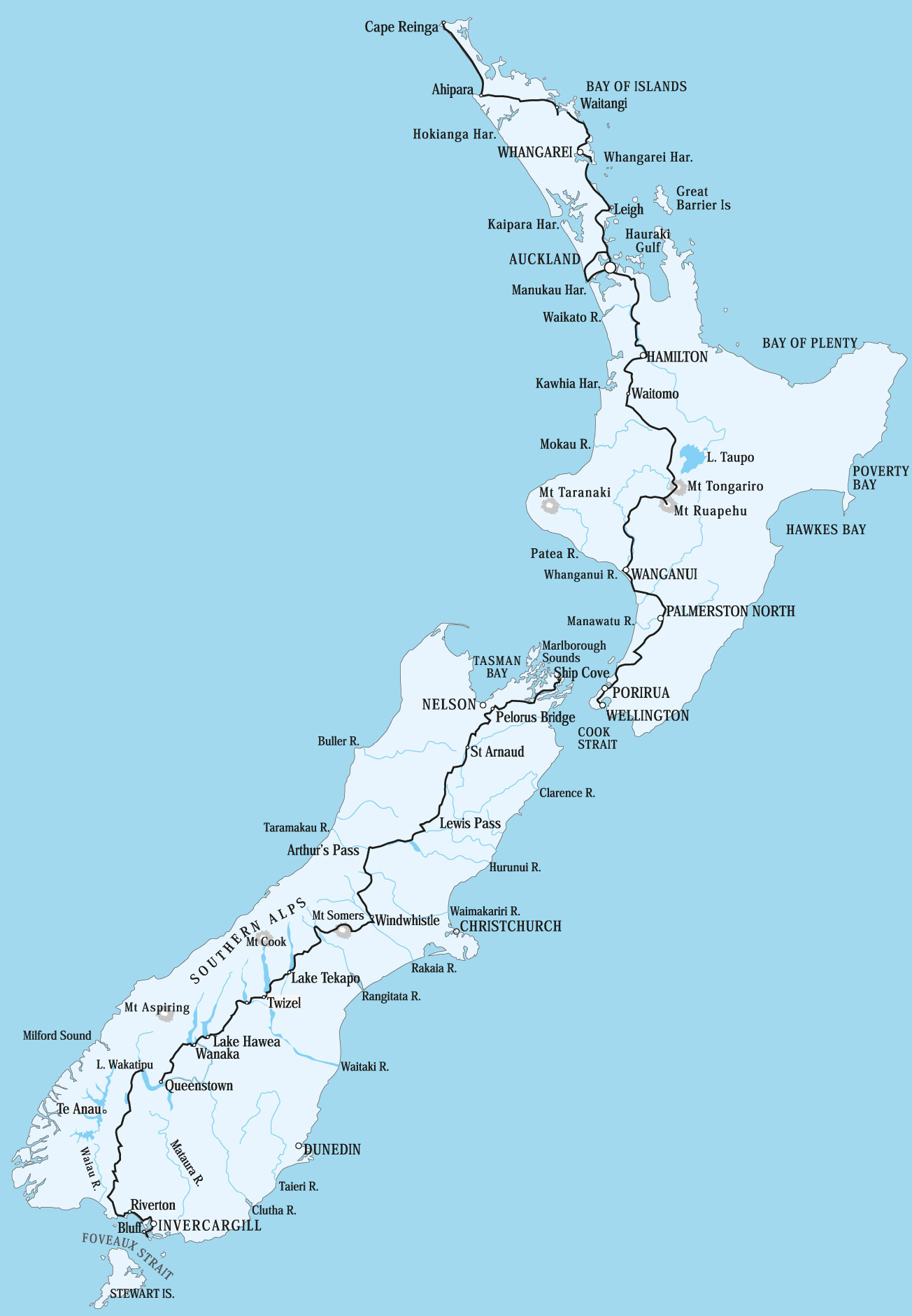
Te Araroa (The Long Pathway) is a continuous 3,000km trail which spans the entire length of New Zealand, from Cape Reinga in the north to Bluff in the south.
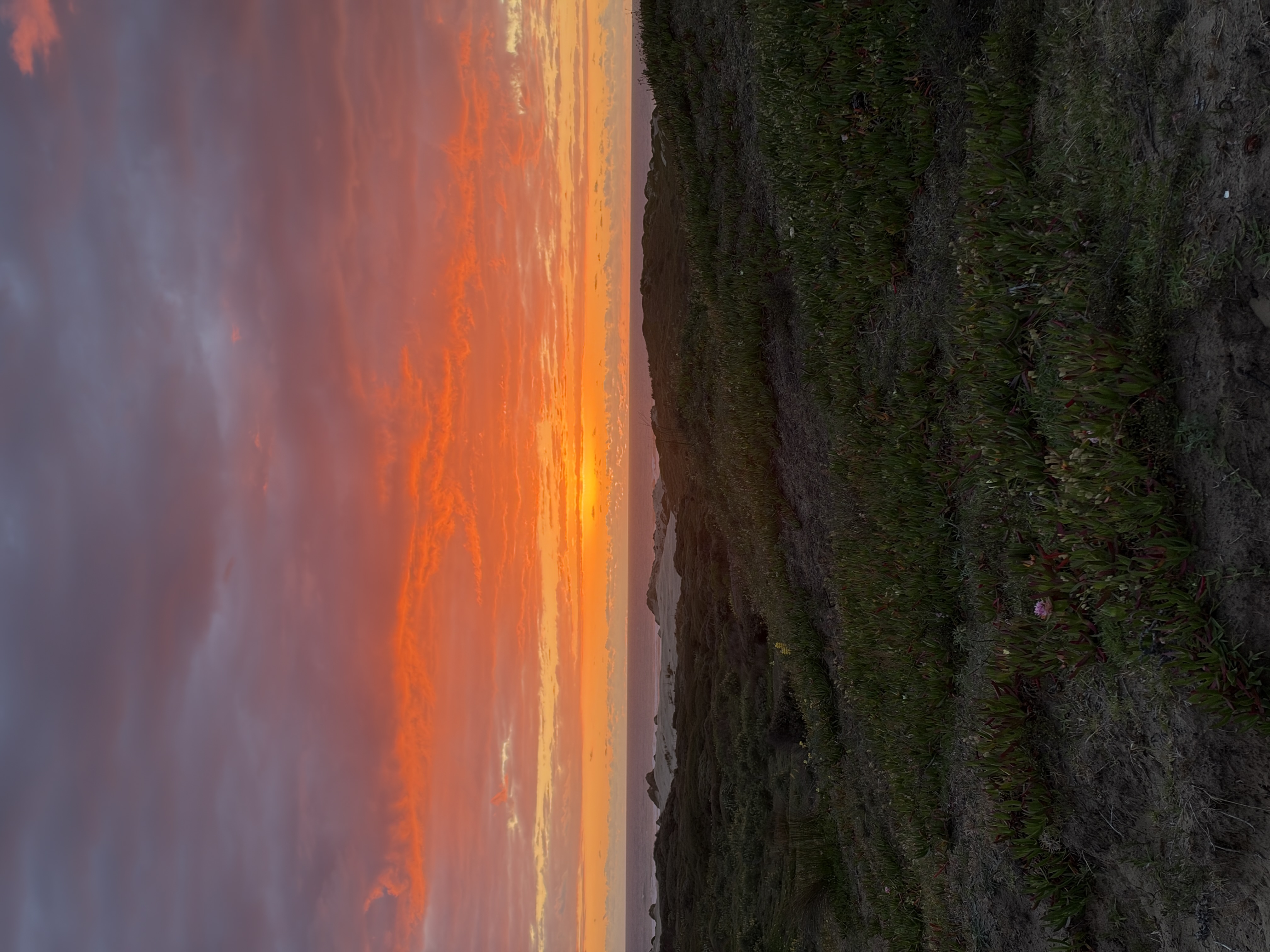
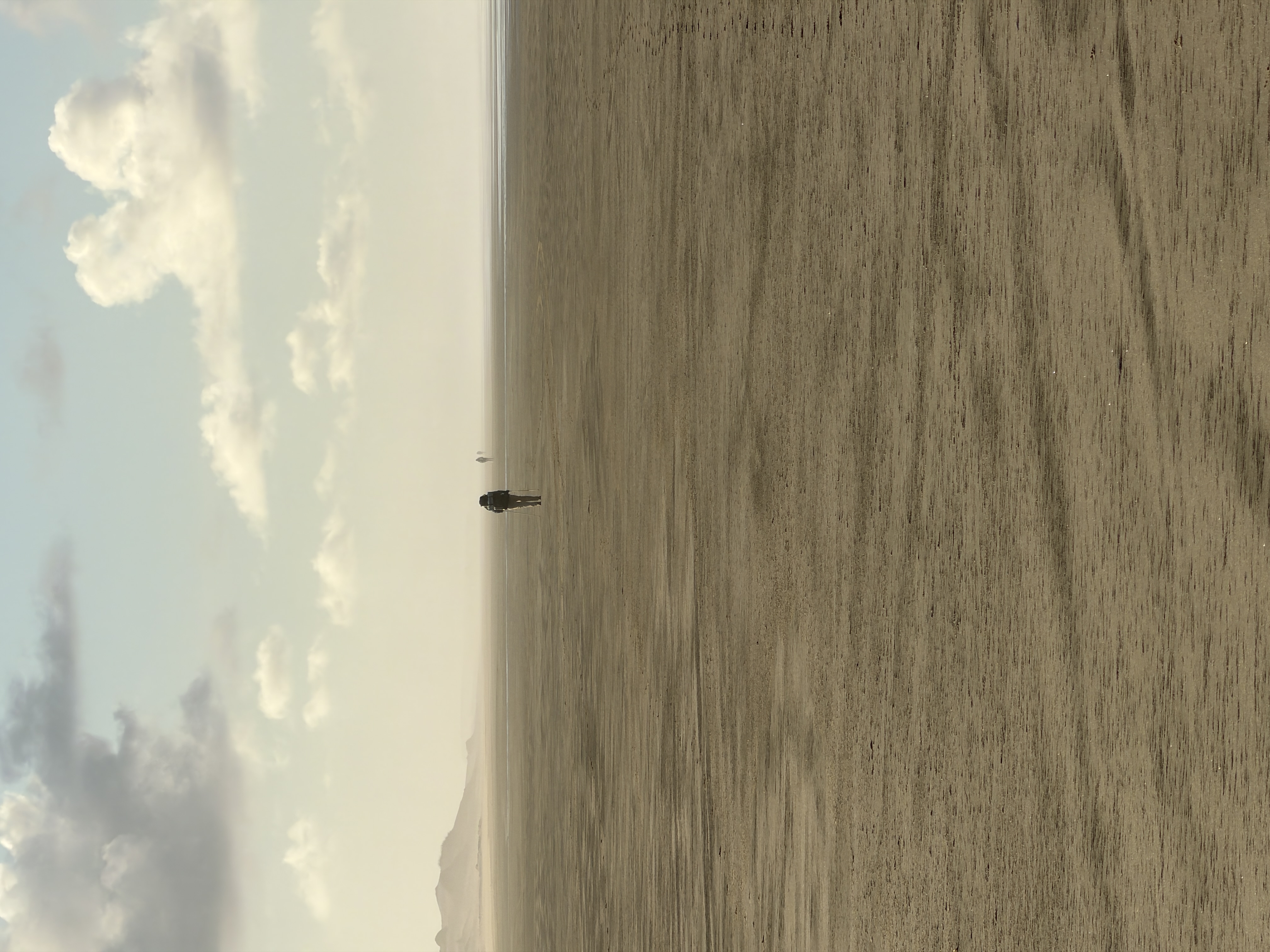
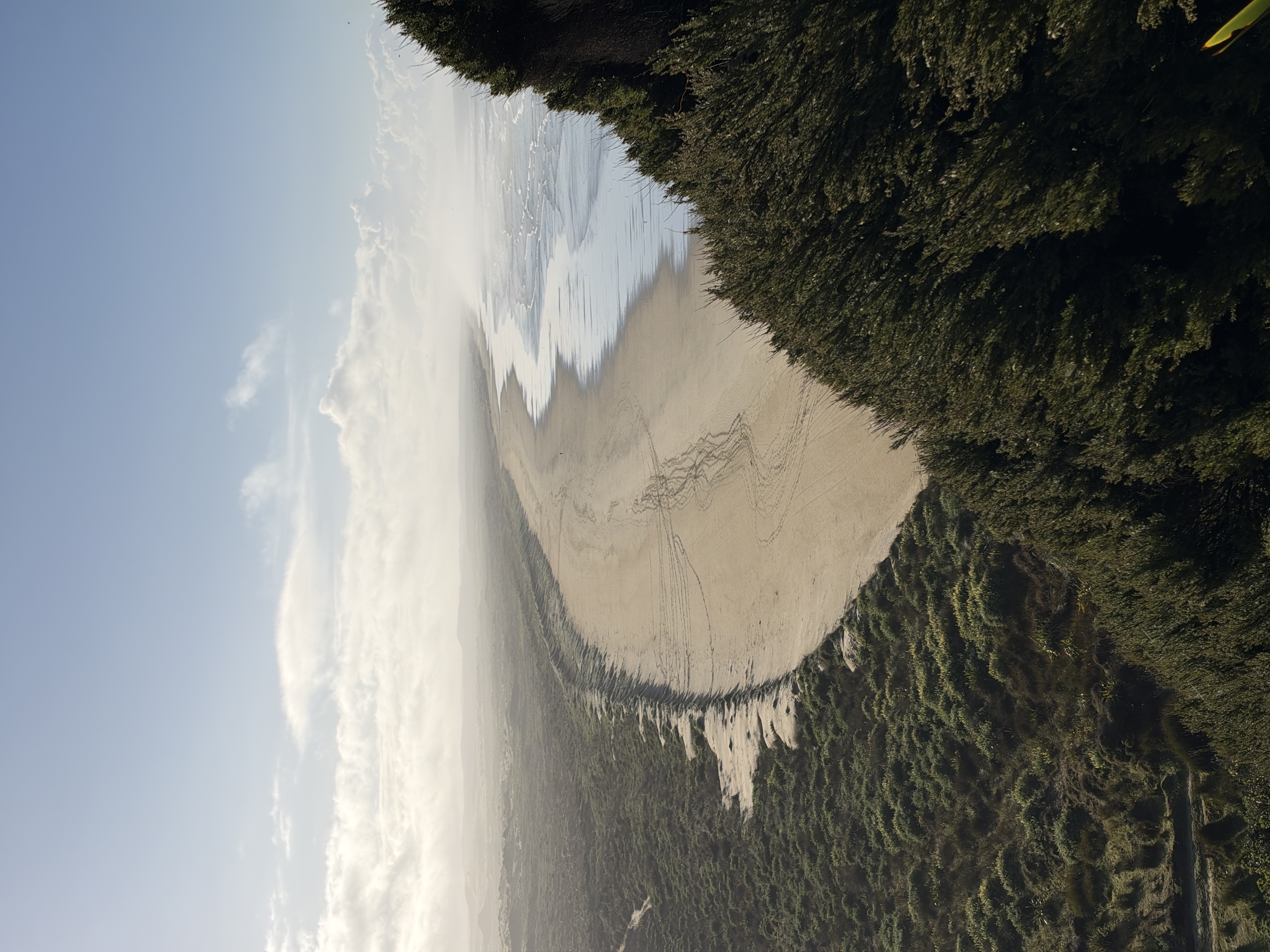
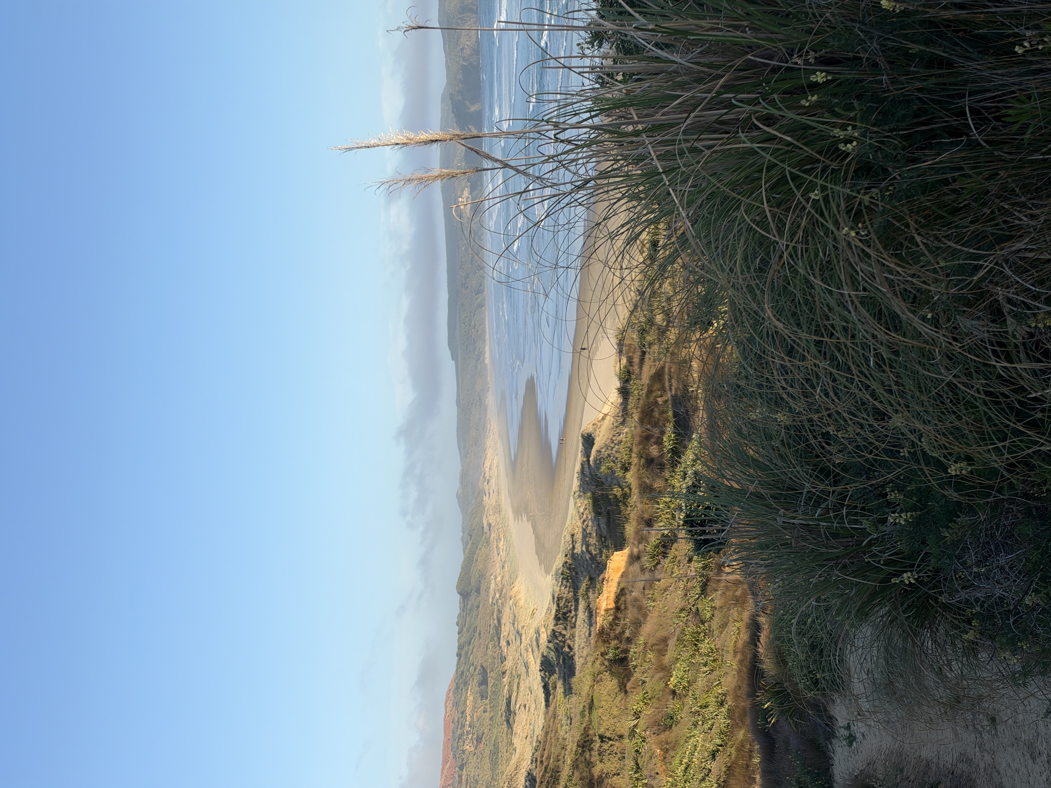
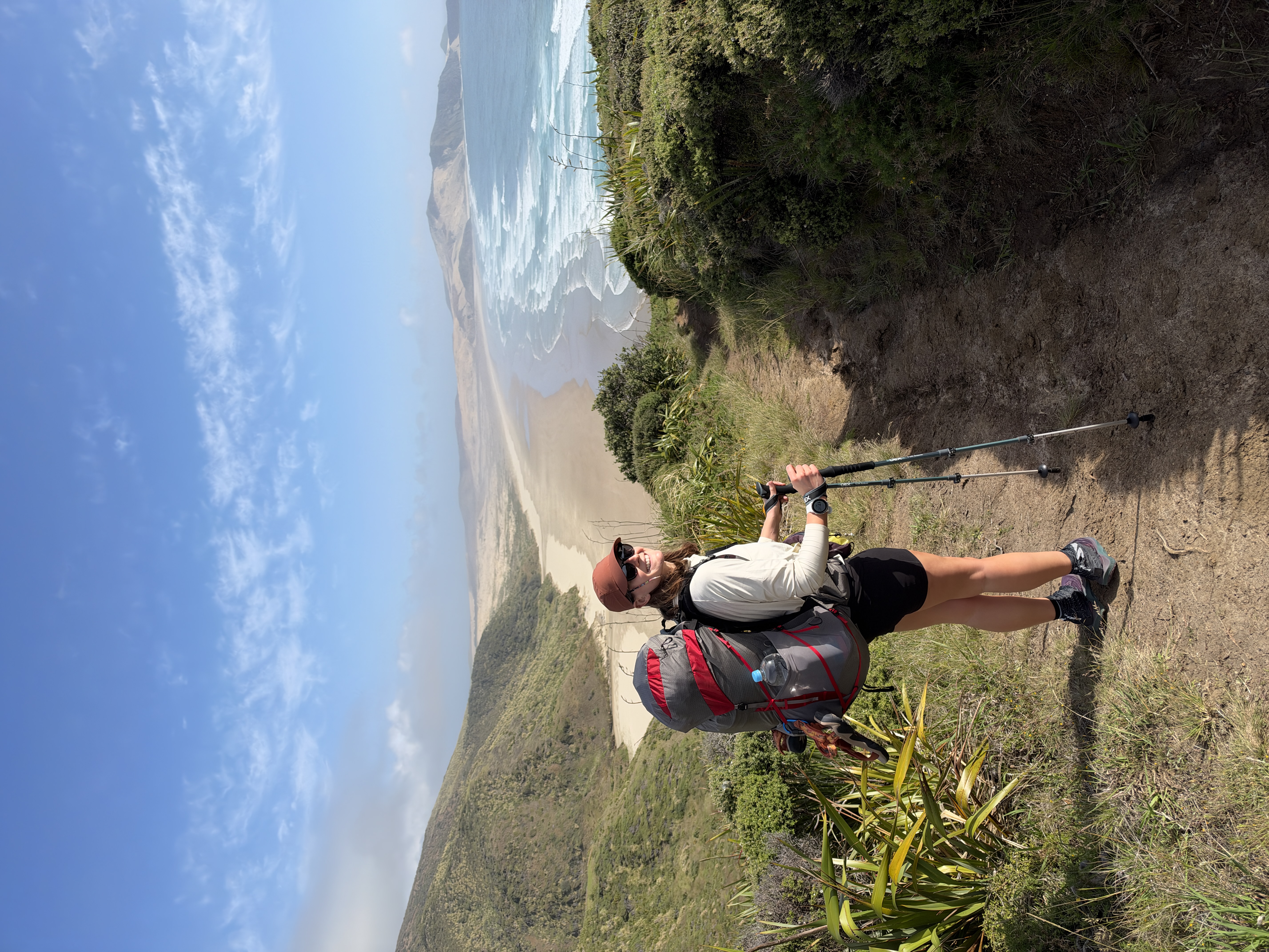
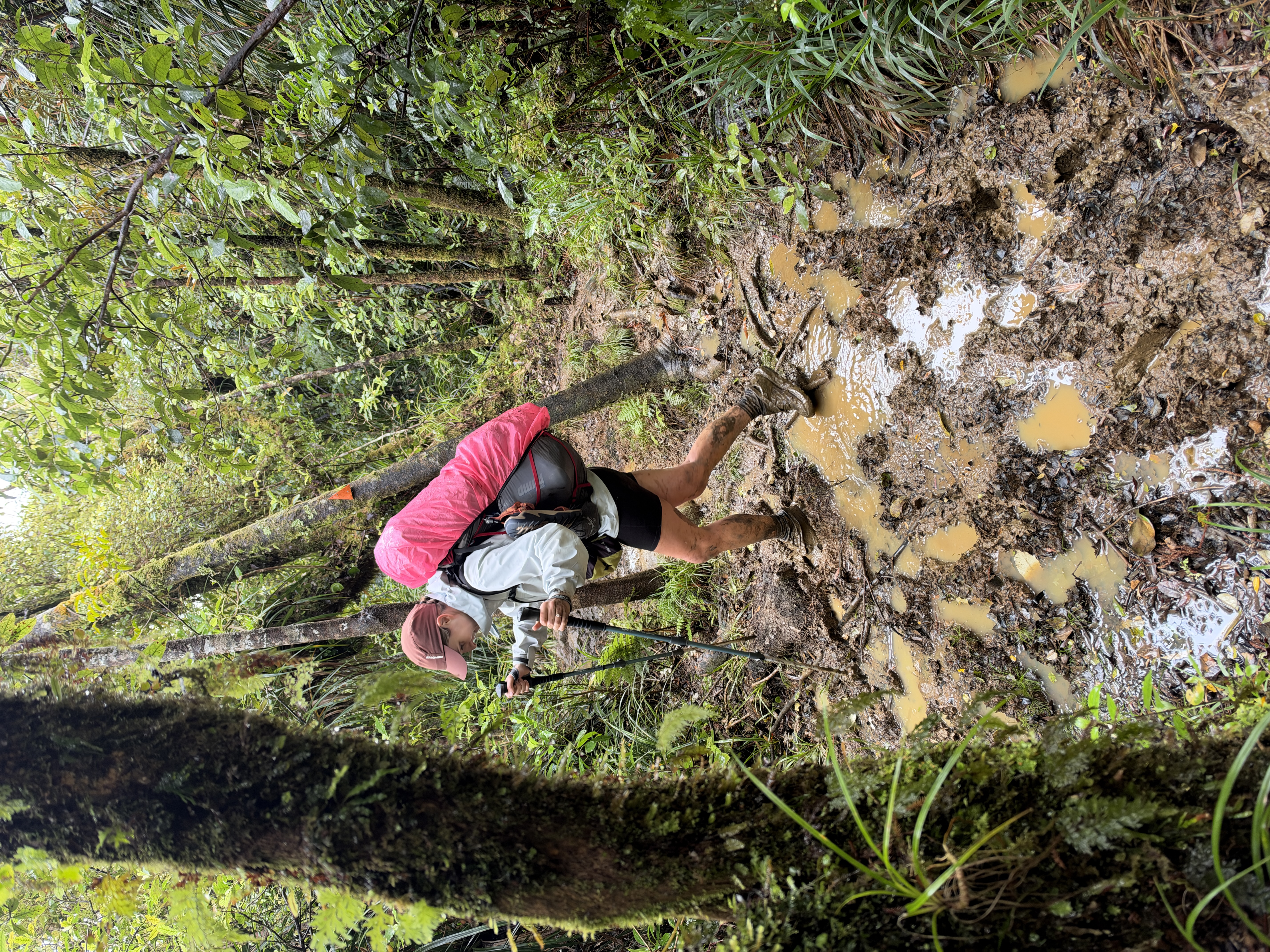
The route links beaches, lakes, farmland, forests and alpine passes. Heading south, it starts with Ninety Mile Beach before working through Northland’s forests and coast. Next comes Auckland, then the farmland and riverside paths of the Waikato. The Central North Island follows, with Mt Pirongia and the volcanic country around Tongariro, before a 100km paddle down the Whanganui River by kayak. The North Island ends with the Tararua Range, a short but exposed stretch above Wellington, where you take the ferry to the South Island.
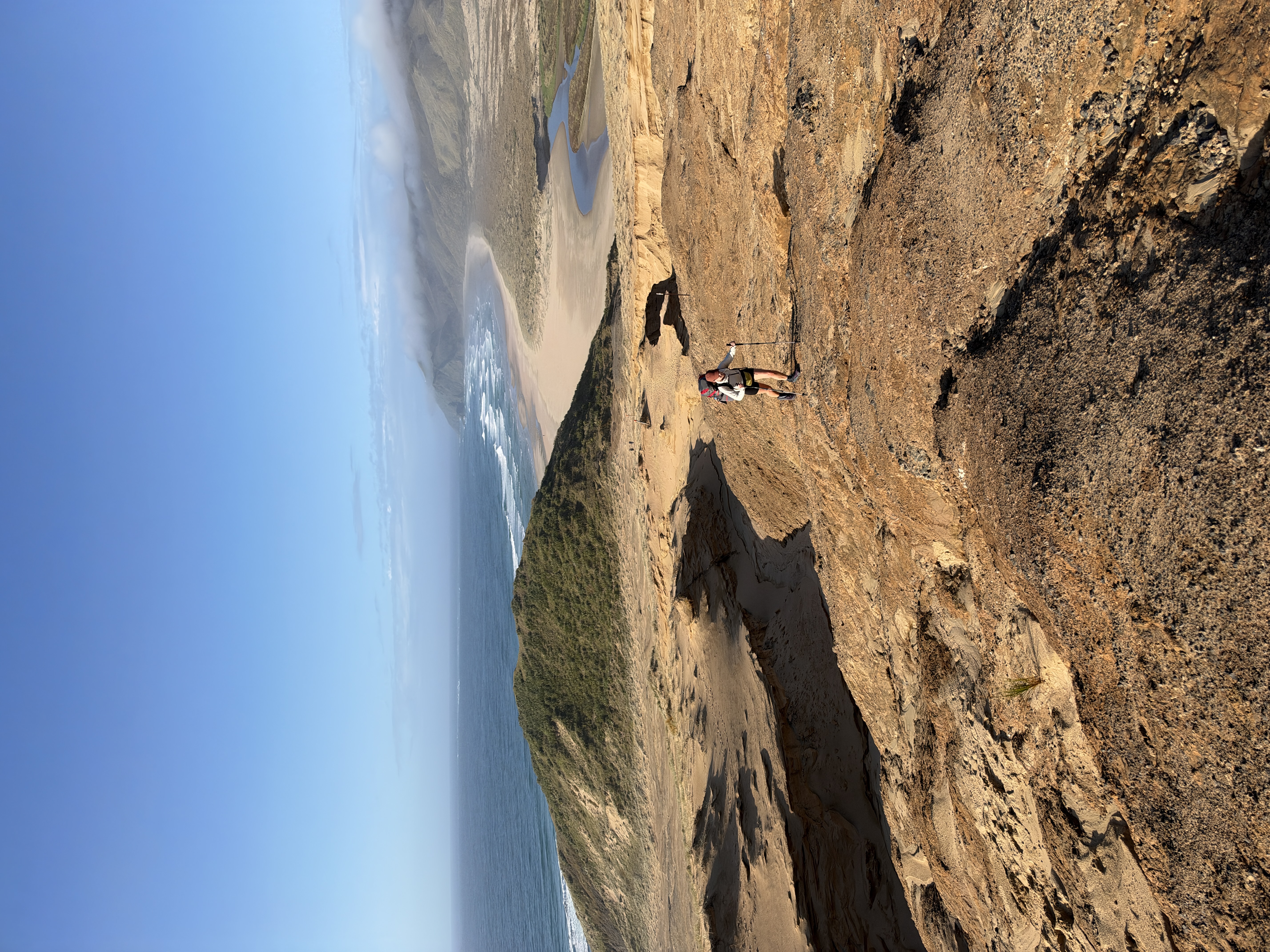
There, the trail crosses the Richmond Range and the Nelson Lakes, including Waiau Pass. Canterbury’s big river valleys and Harper Pass come next, then Stag Saddle at 1,925m, the highest point on the route. The trail finishes through Otago’s high country and Southland’s remote southern tracks, ending at Bluff.
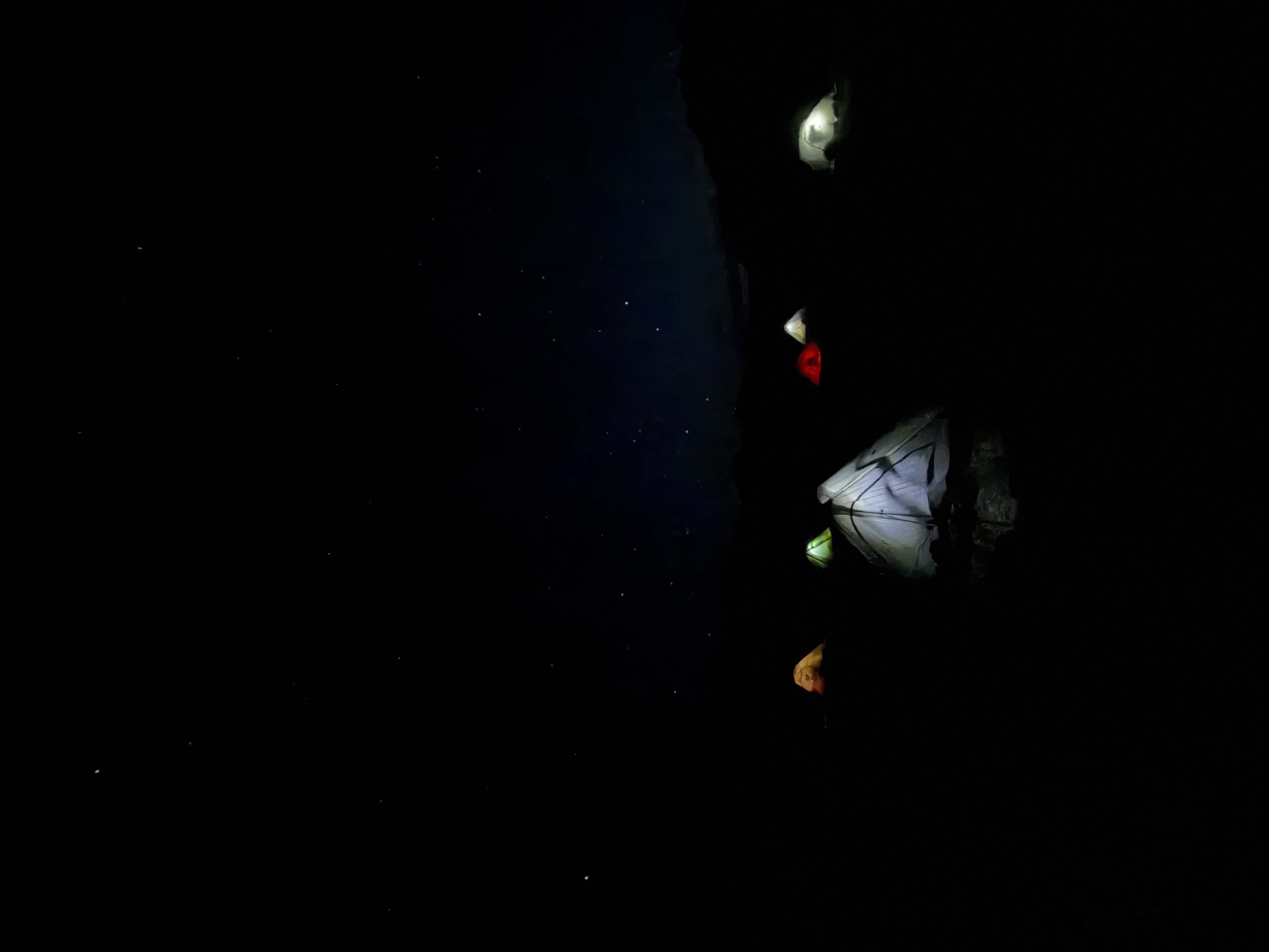
The North Island makes up a little over half the distance. A complete walk usually takes 3 to 5 months, so most people start in spring and aim to finish before winter. Logistics are mostly self-supported: resupply happens in towns along the way, with DOC huts and campsites linking the wilder sections.
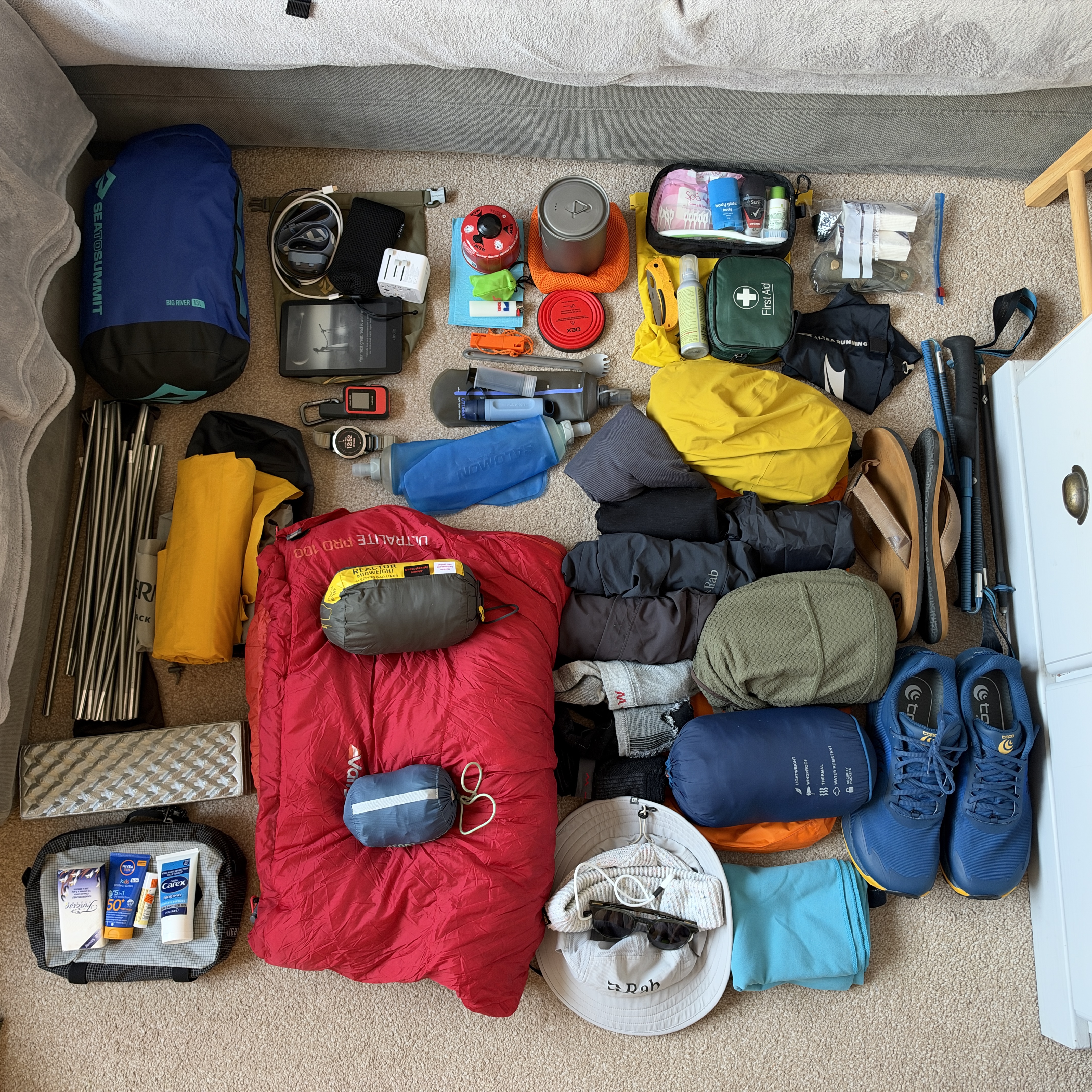
Packing Light
Or trying to…